
IMAGES TAKEN NEAR TO
Cribb Close, POOLE, BH17 8QD
Introduction
This page details the photographs taken nearby to Cribb Close, BH17 8QD by members of the Geograph project.
The Geograph project started in 2005 with the aim of publishing, organising and preserving representative images for every square kilometre of Great Britain, Ireland and the Isle of Man.

There are currently over 7.5m images from over14,400 individuals and you can help contribute to the project by visiting https://www.geograph.org.uk
Image Map
Images are licensed for reuse under creativecommons.org/licenses/by-sa/2.0
Notes
- Clicking on the map will re-center to the selected point.
- The higher the marker number, the further away the image location is from the centre of the postcode.
Image Listing (21 Images Found)
Images are licensed for reuse under creativecommons.org/licenses/by-sa/2.0
Image
Details
Distance
1
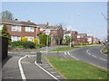
Typical Modern Housing in Canford Heath
These homes are on the southern end of Adastral Road.
Image: © mike smith
Taken: 9 Apr 2007
0.03 miles
2
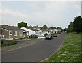
Oakdale, Kingsmill Road
Modern bungalows off Gibson Road.
Image: © Mike Faherty
Taken: 30 Apr 2011
0.08 miles
3
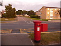
Canford Heath: postbox № BH17 268, Adastral Road
This postbox faces a footpath to Nettleton Close and has its back to Gibson Road, along which we look in the distance. It is emptied finally at 5:30pm on weekdays and at 12:15pm on Saturdays.
Image: © Chris Downer
Taken: 14 Sep 2009
0.09 miles
4
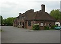
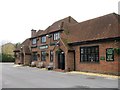
Oakdale, The Oakdale
Overlooking Dorset Way, though access is only from Kingsmill Road. Internally, two rooms (lounge left, bar right, counter at back), darts, pool, TV, garden with play area, parrot. Cask ale on offer at my visit: Ringwood Best. For some customer comments, see http://www.beerintheevening.com/pubs/s/28/2853/Oakdale_Hotel/Oakdale
Image: © Mike Faherty
Taken: 30 Apr 2011
0.10 miles
6
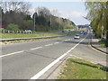
The Dorset Way through Canford Heath
This major road (A3049) is the main route from Bournemouth to Dorchester and points west.
Image: © mike smith
Taken: 9 Apr 2007
0.12 miles
7
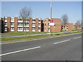
Apartment Blocks in Canford Heath
These are on Adastral Road, opposite Adastral Square.
Image: © mike smith
Taken: 9 Apr 2007
0.16 miles
8
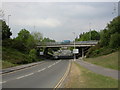
Oakdale, road bridge
Carrying Dorset Way (A3049) over Adastral Road.
Image: © Mike Faherty
Taken: 30 Apr 2011
0.16 miles
9
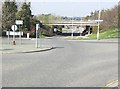
Underpass Road, Canford Heath
This passes under the 4-lane Dorset Way, connecting Canford Heath town with Poole.
Image: © mike smith
Taken: 9 Apr 2007
0.17 miles
10
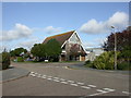
Canford Heath Church
At the junction of Scarf and Mitchell Roads. http://www.churc.co.uk/
Image: © Mike Faherty
Taken: 5 Nov 2009
0.17 miles