
IMAGES TAKEN NEAR TO
Tower Road, BOURNEMOUTH, BH1 4LB
Introduction
This page details the photographs taken nearby to Tower Road, BH1 4LB by members of the Geograph project.
The Geograph project started in 2005 with the aim of publishing, organising and preserving representative images for every square kilometre of Great Britain, Ireland and the Isle of Man.

There are currently over 7.5m images from over14,400 individuals and you can help contribute to the project by visiting https://www.geograph.org.uk
Image Map
Images are licensed for reuse under creativecommons.org/licenses/by-sa/2.0
Notes
- Clicking on the map will re-center to the selected point.
- The higher the marker number, the further away the image location is from the centre of the postcode.
Image Listing (135 Images Found)
Images are licensed for reuse under creativecommons.org/licenses/by-sa/2.0
Image
Details
Distance
1
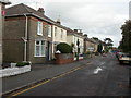
Boscombe, Tower Road
Victorian semi-detached housing, with undertakers in the centre.
Image: © Mike Faherty
Taken: 31 Oct 2009
0.03 miles
2
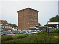
Boscombe, water tower
At the junction of Palmerston & Tower Roads; now converted to flats.
Image: © Mike Faherty
Taken: 1 Jul 2009
0.05 miles
3
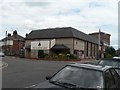
Boscombe: Salvation Army
The Salvation Army's Boscombe branch is in Palmerston Road, on the corner of Tower Road, which is doubtless named after the nearby Image
Image: © Chris Downer
Taken: 12 Jul 2008
0.05 miles
4
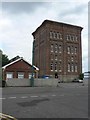
Boscombe: the water tower
This water tower is close to the site of the former Boscombe Hospital, which it used to serve, and is now on grounds that are the estate office of the local NHS Trust.
Image: © Chris Downer
Taken: 12 Jul 2008
0.06 miles
5
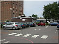
Boscombe & Springbourne Health Centre
Brand new centre (opened today), in the shadows of Image and next to NHS offices. A walk-in centre, open 12 hours a day and 365 days a year. http://www.nwic.org.uk/
Image: © Mike Faherty
Taken: 1 Jul 2009
0.06 miles
6
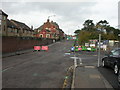
Boscombe, road closed
After months of disruption locally caused by gas mains relaying (still ongoing), disruption to drivers, bus passengers and traders continues; the railway bridge in Ashley Road is to be replaced, with works lasting a month. http://www.boscalicious.co.uk/ashley-rd-bridge-closure-update-i801.html
Image: © Mike Faherty
Taken: 31 Oct 2009
0.06 miles
7
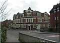
Boscombe, The Portman Hotel
Former Eldridge Pope pub on Ashley Road, named after a former local land owner. Internally, back bar with drinking and eating areas to left in two areas; space to right not apparently used. TV, games machines, garden at back. Cask ales on offer at my visit: Ringwood Best, Fortyniner. For some customer comments, see http://www.beerintheevening.com/pubs/s/25/2562/Portman/Bournemouth
Image: © Mike Faherty
Taken: 3 Apr 2011
0.07 miles
8
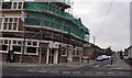
Bournemouth : Boscombe - Portman Hotel & Tower Road
Portman Hotel and the road junction with Tower Road and Ashley Road.
Image: © Lewis Clarke
Taken: 14 Dec 2010
0.07 miles
9
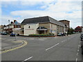
Salvation Army church, Boscombe
A Salvation Army church in Boscombe, near Bournemouth.
Image: © Malc McDonald
Taken: 17 Aug 2021
0.08 miles
10
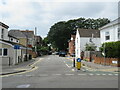
Borthwick Road, Boscombe
Borthwick Road is a residential road in Boscombe, near Bournemouth. The road is one-way for motor vehicles, but there is a contraflow lane for cyclists.
Image: © Malc McDonald
Taken: 17 Aug 2021
0.08 miles