
IMAGES TAKEN NEAR TO
Evering Avenue, POOLE, BH12 4JG
Introduction
This page details the photographs taken nearby to Evering Avenue, BH12 4JG by members of the Geograph project.
The Geograph project started in 2005 with the aim of publishing, organising and preserving representative images for every square kilometre of Great Britain, Ireland and the Isle of Man.

There are currently over 7.5m images from over14,400 individuals and you can help contribute to the project by visiting https://www.geograph.org.uk
Image Map
Images are licensed for reuse under creativecommons.org/licenses/by-sa/2.0
Notes
- Clicking on the map will re-center to the selected point.
- The higher the marker number, the further away the image location is from the centre of the postcode.
Image Listing (25 Images Found)
Images are licensed for reuse under creativecommons.org/licenses/by-sa/2.0
Image
Details
Distance
1
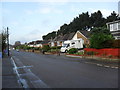
Evering Avenue
Bungalows in Alderney.
Image: © Burgess Von Thunen
Taken: 10 Nov 2011
0.03 miles
2
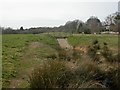
Bourne Valley Park, weir
Bourne Valley Park was remodelled in 2008 to provide a more diverse environment for local residents and to cope with storm water runoffs, with terraced stream channel, basins & weir. For water to pass down the top of the weir was predicted to a be a once in twenty years event; but it happened three times in 2007! http://www.bournestreampartnership.org.uk/alderneyprojectdiary_I.htm#Weir%20Watching,
Image: © Mike Faherty
Taken: 7 Mar 2009
0.10 miles
3
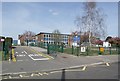
Local School
Situated in Evering Avenue, Alderney.
Image: © mike smith
Taken: 6 Apr 2007
0.10 miles
5
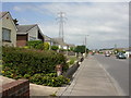
Alderney, Corbiere Avenue
Most of the roads in Alderney are named after Channel Islands places, and most of the housing in them is bungalows.
Image: © Mike Faherty
Taken: 23 Jun 2009
0.12 miles
6
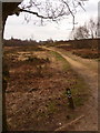
Alderney: track through Bourne Bottom
Looking west-ish across Image; this path has hugged the southern side of the Bottom but now it widens, housing coming to an abrupt end, so we are going straight through the middle now. The track comes out opposite Bloxworth Road, where we see the residential area in the distance.
Image: © Chris Downer
Taken: 14 Feb 2010
0.12 miles
7
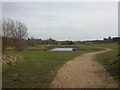
Bourne Valley Park, fishing lake
Fishing lake, complete with platforms, created for young anglers when previous Alderney Recreation Grounds were remodelled in 2006.http://www.bournestreampartnership.org.uk/fishing_at_the_park.htm
Image: © Mike Faherty
Taken: 7 Mar 2009
0.14 miles
8
Turf Zone "BreladesWood"
At Bourne Valley Park.
Image: © Ian S
Taken: 15 Nov 2022
0.14 miles
9
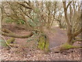
Alderney: path over a tree
The path here actually looks as if it has been trodden unofficially, to cut off a corner between two established tracks. This strange-shaped tree has two upright branches, very close to each other, one of which suddenly wraps itself under the other and veers off.
Image: © Chris Downer
Taken: 14 Feb 2010
0.14 miles
10
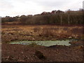
Alderney: unpleasant looking pool, Bourne Bottom
Looking across Image with a pool of water, filled with algae or some other greeny matter, in the foreground. Luckily my friend's dog responded appropriately to calls of "No!" and decided not to have a quick dip!
Image: © Chris Downer
Taken: 14 Feb 2010
0.14 miles