
IMAGES TAKEN NEAR TO
Flazen Close, BOURNEMOUTH, BH11 8TH
Introduction
This page details the photographs taken nearby to Flazen Close, BH11 8TH by members of the Geograph project.
The Geograph project started in 2005 with the aim of publishing, organising and preserving representative images for every square kilometre of Great Britain, Ireland and the Isle of Man.

There are currently over 7.5m images from over14,400 individuals and you can help contribute to the project by visiting https://www.geograph.org.uk
Image Map
Images are licensed for reuse under creativecommons.org/licenses/by-sa/2.0
Notes
- Clicking on the map will re-center to the selected point.
- The higher the marker number, the further away the image location is from the centre of the postcode.
Image Listing (22 Images Found)
Images are licensed for reuse under creativecommons.org/licenses/by-sa/2.0
Image
Details
Distance
1
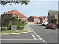
Goldenleas Drive
New development of town houses and detached homes.
Image: © mike smith
Taken: 6 Apr 2007
0.06 miles
2
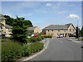
Knighton Heath, Autumn Road
Modern housing in Autumn Road; at the end, Goldenleas Drive.
Image: © Mike Faherty
Taken: 6 Jun 2010
0.06 miles
3
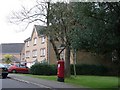
West Howe: postbox № BH11 402, Autumn Road
This postbox serves the little estate built in the early 2000s, which straddles the Bournemouth-Poole boundary as clearly indicated on the map.
Image: © Chris Downer
Taken: 4 Jan 2009
0.08 miles
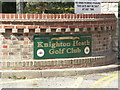
6
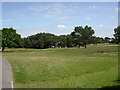
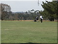
Knighton Heath Golf Club
18-hole course at the end of Francis Avenue. http://www.knightonheathgolfclub.co.uk/pages.php/course.html
Image: © Mike Faherty
Taken: 6 Jun 2010
0.11 miles
7
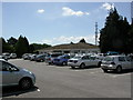
Knighton Heath, golf club house
At the end of Francis Avenue.
Image: © Mike Faherty
Taken: 6 Jun 2010
0.14 miles
8
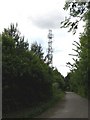
Knighton Heath, telecoms tower
Operated by 3G and O2, on the bridleway from Francis Avenue.
Image: © Mike Faherty
Taken: 6 Jun 2010
0.17 miles
10
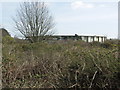
Water Storage Tank
This is on the eastern boundary of the Canford Heath Nature Reserve.
Image: © mike smith
Taken: 6 Apr 2007
0.18 miles