IMAGES TAKEN NEAR TO
Ashtree Grove, BRADFORD, BD7 4DS
Introduction
This page details the photographs taken nearby to Ashtree Grove, BD7 4DS by members of the Geograph project.
The Geograph project started in 2005 with the aim of publishing, organising and preserving representative images for every square kilometre of Great Britain, Ireland and the Isle of Man.

There are currently over 7.5m images from over14,400 individuals and you can help contribute to the project by visiting https://www.geograph.org.uk
Image Map
Images are licensed for reuse under creativecommons.org/licenses/by-sa/2.0
Notes
- Clicking on the map will re-center to the selected point.
- The higher the marker number, the further away the image location is from the centre of the postcode.
Image Listing (89 Images Found)
Images are licensed for reuse under creativecommons.org/licenses/by-sa/2.0
Image
Details
Distance
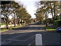
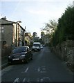
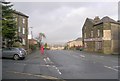
3
Pickles Lane
Viewed from Great Horton Road.
Image: © Stephen Armstrong
Taken: 14 Apr 2010
0.03 miles
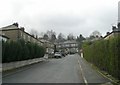
4
Pickles Lane - looking towards Old Road
Image: © Betty Longbottom
Taken: 29 Feb 2012
0.04 miles
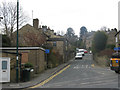
5
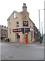
Lahoree Grillz - Great Horton Road
Image: © Betty Longbottom
Taken: 20 Feb 2012
0.05 miles
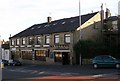
9
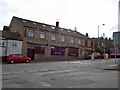
The Jam Factory
Looking from Windermere Drive, Bradford.
Image: © Steve Fareham
Taken: 28 Mar 2010
0.06 miles
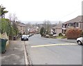
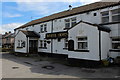
10
Hollybank Road - Great Horton Road
Image: © Betty Longbottom
Taken: 17 Dec 2008
0.07 miles