IMAGES TAKEN NEAR TO
Spencer Road, BRADFORD, BD7 2LF
Introduction
This page details the photographs taken nearby to Spencer Road, BD7 2LF by members of the Geograph project.
The Geograph project started in 2005 with the aim of publishing, organising and preserving representative images for every square kilometre of Great Britain, Ireland and the Isle of Man.

There are currently over 7.5m images from over14,400 individuals and you can help contribute to the project by visiting https://www.geograph.org.uk
Image Map
Images are licensed for reuse under creativecommons.org/licenses/by-sa/2.0
Notes
- Clicking on the map will re-center to the selected point.
- The higher the marker number, the further away the image location is from the centre of the postcode.
Image Listing (78 Images Found)
Images are licensed for reuse under creativecommons.org/licenses/by-sa/2.0
Image
Details
Distance
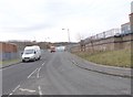
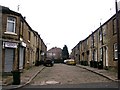
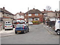
2
St Wilfrid's Crescent - Spencer Road
Image: © Betty Longbottom
Taken: 14 Feb 2012
0.07 miles
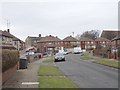
3
St Wilfrid's Crescent - Spencer Road
Image: © Betty Longbottom
Taken: 4 Oct 2011
0.08 miles
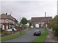
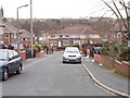
5
Summer Hill Street - Beckside Road
Image: © Betty Longbottom
Taken: 23 Dec 2008
0.08 miles
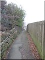
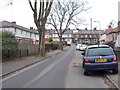
6

Pakistani Foods, Beckside Road, Great Horton
This was part of a foundry, probably the offices.
Image: © Humphrey Bolton
Taken: 19 Aug 2010
0.09 miles
7
St Wilfrid's Close - St Wilfrid's Crescent
Image: © Betty Longbottom
Taken: 14 Feb 2012
0.09 miles
8
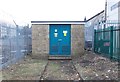
Electricity Substation No 708 - Spencer Road
Image: © Betty Longbottom
Taken: 14 Feb 2012
0.09 miles
10
Green Court - St Wilfrid's Crescent
Image: © Betty Longbottom
Taken: 14 Feb 2012
0.10 miles