IMAGES TAKEN NEAR TO
Hartington Terrace, BRADFORD, BD7 2HL
Introduction
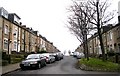
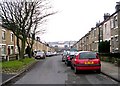
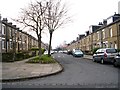
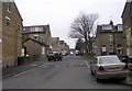
This page details the photographs taken nearby to Hartington Terrace, BD7 2HL by members of the Geograph project.
The Geograph project started in 2005 with the aim of publishing, organising and preserving representative images for every square kilometre of Great Britain, Ireland and the Isle of Man.

There are currently over 7.5m images from over14,400 individuals and you can help contribute to the project by visiting https://www.geograph.org.uk
Image Map
Images are licensed for reuse under creativecommons.org/licenses/by-sa/2.0
Notes
- Clicking on the map will re-center to the selected point.
- The higher the marker number, the further away the image location is from the centre of the postcode.
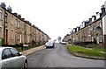
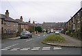
Image Listing (90 Images Found)
Images are licensed for reuse under creativecommons.org/licenses/by-sa/2.0
Image
Details
Distance
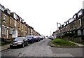
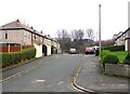
2
Brandfort Street - Warrenton Place
Image: © Betty Longbottom
Taken: 23 Dec 2008
0.03 miles
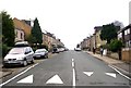
9
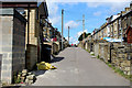
Back Alley between Harlow Road and Cumberland Road
One of many such back alleys to be found in the Lidget Green area of Bradford.
Image: © Chris Heaton
Taken: 26 Aug 2016
0.07 miles