IMAGES TAKEN NEAR TO
Brackenholme Royd, BRADFORD, BD6 2AH
Introduction
This page details the photographs taken nearby to Brackenholme Royd, BD6 2AH by members of the Geograph project.
The Geograph project started in 2005 with the aim of publishing, organising and preserving representative images for every square kilometre of Great Britain, Ireland and the Isle of Man.

There are currently over 7.5m images from over14,400 individuals and you can help contribute to the project by visiting https://www.geograph.org.uk
Image Map
Images are licensed for reuse under creativecommons.org/licenses/by-sa/2.0
Notes
- Clicking on the map will re-center to the selected point.
- The higher the marker number, the further away the image location is from the centre of the postcode.
Image Listing (59 Images Found)
Images are licensed for reuse under creativecommons.org/licenses/by-sa/2.0
Image
Details
Distance
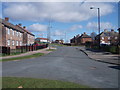
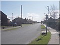
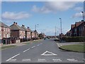
2
Bishopdale Holme - Brackenholme Royd
Image: © Betty Longbottom
Taken: 5 Mar 2012
0.02 miles
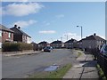
6
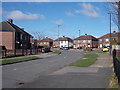
Calderstone Avenue - Collingham Avenue
Image: © Betty Longbottom
Taken: 5 Mar 2012
0.06 miles
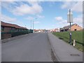
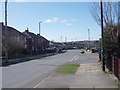
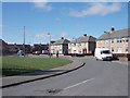
8
Reevy Road West - viewed from Buttershaw Drive
Image: © Betty Longbottom
Taken: 5 Mar 2012
0.08 miles
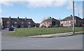
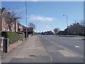
10
Crossdale Avenue - Collingham Avenue
Image: © Betty Longbottom
Taken: 5 Mar 2012
0.10 miles