IMAGES TAKEN NEAR TO
Tyersal Crescent, BRADFORD, BD4 8HA
Introduction
This page details the photographs taken nearby to Tyersal Crescent, BD4 8HA by members of the Geograph project.
The Geograph project started in 2005 with the aim of publishing, organising and preserving representative images for every square kilometre of Great Britain, Ireland and the Isle of Man.

There are currently over 7.5m images from over14,400 individuals and you can help contribute to the project by visiting https://www.geograph.org.uk
Image Map
Images are licensed for reuse under creativecommons.org/licenses/by-sa/2.0
Notes
- Clicking on the map will re-center to the selected point.
- The higher the marker number, the further away the image location is from the centre of the postcode.
Image Listing (50 Images Found)
Images are licensed for reuse under creativecommons.org/licenses/by-sa/2.0
Image
Details
Distance
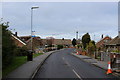
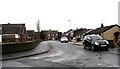
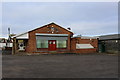
6
Tyersal Club, Tyersal Road, Bradford
Image: © Stephen Armstrong
Taken: 24 Nov 2021
0.09 miles
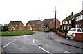
7

Tyersal Road, Looking East towards Pudsey
More a track than a road.
Image: © Stephen Armstrong
Taken: 24 Nov 2021
0.09 miles
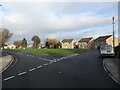
8
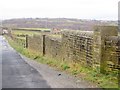
Track near Tyersal
The continuation of Tyersal Road, here passing a stone wall with Grove View Farm beyond.
Image: © Derek Harper
Taken: 21 Dec 2012
0.09 miles
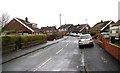
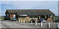
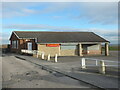
9
Tyersal Residents Association Community Centre
Located on the eastern edge of Tyersal
Image: © Chris Heaton
Taken: 27 Nov 2016
0.09 miles