IMAGES TAKEN NEAR TO
Bangla Walk, BRADFORD, BD3 0BA
Introduction
This page details the photographs taken nearby to Bangla Walk, BD3 0BA by members of the Geograph project.
The Geograph project started in 2005 with the aim of publishing, organising and preserving representative images for every square kilometre of Great Britain, Ireland and the Isle of Man.

There are currently over 7.5m images from over14,400 individuals and you can help contribute to the project by visiting https://www.geograph.org.uk
Image Map (Loading...)


Getting Data...Please wait
Leaflet Map data © OpenStreetMap
Images are licensed for reuse under creativecommons.org/licenses/by-sa/2.0
Notes
- Clicking on the map will re-center to the selected point.
- The higher the marker number, the further away the image location is from the centre of the postcode.
Image Listing (143 Images Found)
Images are licensed for reuse under creativecommons.org/licenses/by-sa/2.0
Image
Details
Distance
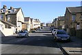
1
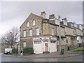
Gayatri Food Store - Lonsdale Street
Image: © Betty Longbottom
Taken: 22 Nov 2010
0.01 miles
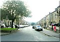
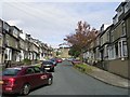
2

Lonsdale Street - looking towards Tennyson Place
Image: © Betty Longbottom
Taken: 22 Nov 2010
0.02 miles
3
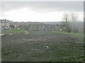
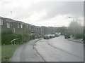
House Clearance Site - off Hendford Drive
Image: © Betty Longbottom
Taken: 22 Nov 2010
0.03 miles
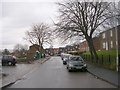
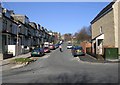
7
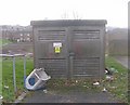
Electricity Substation 254 - Hendford Drive
Image: © Betty Longbottom
Taken: 22 Nov 2010
0.04 miles