IMAGES TAKEN NEAR TO
Ash Terrace, BINGLEY, BD16 1HB
Introduction
This page details the photographs taken nearby to Ash Terrace, BD16 1HB by members of the Geograph project.
The Geograph project started in 2005 with the aim of publishing, organising and preserving representative images for every square kilometre of Great Britain, Ireland and the Isle of Man.

There are currently over 7.5m images from over14,400 individuals and you can help contribute to the project by visiting https://www.geograph.org.uk
Image Map (Loading...)


Getting Data...Please wait
Leaflet Map data © OpenStreetMap
Images are licensed for reuse under creativecommons.org/licenses/by-sa/2.0
Notes
- Clicking on the map will re-center to the selected point.
- The higher the marker number, the further away the image location is from the centre of the postcode.
Image Listing (178 Images Found)
Images are licensed for reuse under creativecommons.org/licenses/by-sa/2.0
Image
Details
Distance
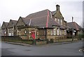
2
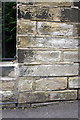
Benchmark on wall of Myrtle Park Primary School
Ordnance Survey cut mark benchmark described on the Bench Mark Database at http://www.bench-marks.org.uk/bm38647
Image: © Roger Templeman
Taken: 30 Jun 2011
0.04 miles
5

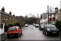
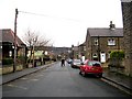
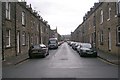
Unity Street North - Myrtle Avenue
Image: © Betty Longbottom
Taken: 13 Jan 2009
0.06 miles
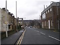
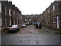
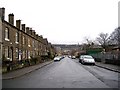
7
Myrtle Park Primary School - Beech Street
Image: © Betty Longbottom
Taken: 13 Jan 2009
0.07 miles