IMAGES TAKEN NEAR TO
Weston Avenue, BRADFORD, BD13 2JB
Introduction
This page details the photographs taken nearby to Weston Avenue, BD13 2JB by members of the Geograph project.
The Geograph project started in 2005 with the aim of publishing, organising and preserving representative images for every square kilometre of Great Britain, Ireland and the Isle of Man.

There are currently over 7.5m images from over14,400 individuals and you can help contribute to the project by visiting https://www.geograph.org.uk
Image Map
Images are licensed for reuse under creativecommons.org/licenses/by-sa/2.0
Notes
- Clicking on the map will re-center to the selected point.
- The higher the marker number, the further away the image location is from the centre of the postcode.
Image Listing (110 Images Found)
Images are licensed for reuse under creativecommons.org/licenses/by-sa/2.0
Image
Details
Distance
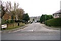
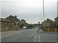
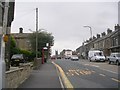
4
A647, Queensbury
A reverse view of Image, with the junction with Fleet Lane a little ahead.
Image: © Derek Harper
Taken: 3 Jul 2014
0.04 miles
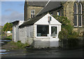
6
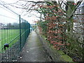
Queensbury FP26 passing the school grounds
Security fencing to stop the children from molesting footpath users.
Image: © Humphrey Bolton
Taken: 6 Feb 2017
0.06 miles
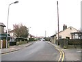
8
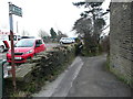
Ford Hill - viewed from Fleet Lane
Image: © Betty Longbottom
Taken: 19 Sep 2009
0.07 miles
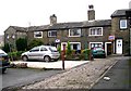
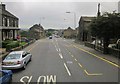
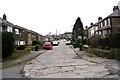
10
West End - viewed from Fleet Lane
Image: © Betty Longbottom
Taken: 19 Sep 2009
0.08 miles