IMAGES TAKEN NEAR TO
Briarfield Avenue, BRADFORD, BD10 8QR
Introduction
This page details the photographs taken nearby to Briarfield Avenue, BD10 8QR by members of the Geograph project.
The Geograph project started in 2005 with the aim of publishing, organising and preserving representative images for every square kilometre of Great Britain, Ireland and the Isle of Man.

There are currently over 7.5m images from over14,400 individuals and you can help contribute to the project by visiting https://www.geograph.org.uk
Image Map
Images are licensed for reuse under creativecommons.org/licenses/by-sa/2.0
Notes
- Clicking on the map will re-center to the selected point.
- The higher the marker number, the further away the image location is from the centre of the postcode.
Image Listing (73 Images Found)
Images are licensed for reuse under creativecommons.org/licenses/by-sa/2.0
Image
Details
Distance
1
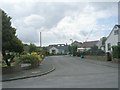
Briarfield Grove - Briarfield Avenue
Image: © Betty Longbottom
Taken: 21 Jun 2011
0.02 miles
2
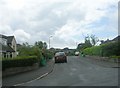
Briarfield Close - Briarfield Avenue
Image: © Betty Longbottom
Taken: 21 Jun 2011
0.05 miles
5
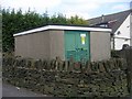
Electricity Substation No 635 - All Alone Road
Image: © Betty Longbottom
Taken: 28 Apr 2011
0.08 miles
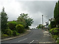
6
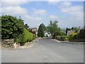
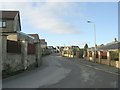
Briarfield Avenue - All Alone Road
Image: © Betty Longbottom
Taken: 28 Apr 2011
0.08 miles
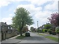
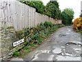
7
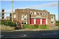
The Way to All Alone
Much new housing has been constructed in the vicinity of an older dwelling known as All Alone - rendering this establishment anything but lonely.
Image: © Chris Heaton
Taken: 12 Jan 2016
0.08 miles
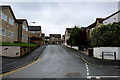
10
Briarfield Avenue - Highfield Road
Image: © Betty Longbottom
Taken: 21 Jun 2011
0.09 miles