IMAGES TAKEN NEAR TO
Apperley Road, BRADFORD, BD10 0AX
Introduction
This page details the photographs taken nearby to Apperley Road, BD10 0AX by members of the Geograph project.
The Geograph project started in 2005 with the aim of publishing, organising and preserving representative images for every square kilometre of Great Britain, Ireland and the Isle of Man.

There are currently over 7.5m images from over14,400 individuals and you can help contribute to the project by visiting https://www.geograph.org.uk
Image Map
Images are licensed for reuse under creativecommons.org/licenses/by-sa/2.0
Notes
- Clicking on the map will re-center to the selected point.
- The higher the marker number, the further away the image location is from the centre of the postcode.
Image Listing (155 Images Found)
Images are licensed for reuse under creativecommons.org/licenses/by-sa/2.0
Image
Details
Distance
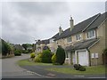
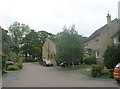
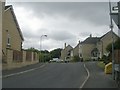
1
Apperley Road - viewed from Hemingway Road
Image: © Betty Longbottom
Taken: 15 Jun 2011
0.03 miles
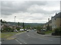
4
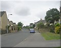
Apperley Road - viewed from Hemingway Road
Image: © Betty Longbottom
Taken: 15 Jun 2011
0.07 miles
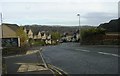
5
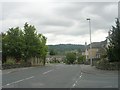
Hemingway Road - viewed from Outlands Rise
Image: © Betty Longbottom
Taken: 15 Jun 2011
0.08 miles
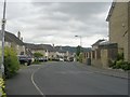
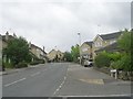
8
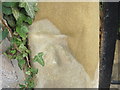
Ordnance Survey Cut Mark
This mark can be found on a gatepost at 111 Apperley Road.
For more detail see : http://www.bench-marks.org.uk/bm43827
Image: © Peter Wood
Taken: 8 Jul 2012
0.10 miles