
IMAGES TAKEN NEAR TO
Rakeshouse Road, NELSON, BB9 8LU
Introduction
This page details the photographs taken nearby to Rakeshouse Road, BB9 8LU by members of the Geograph project.
The Geograph project started in 2005 with the aim of publishing, organising and preserving representative images for every square kilometre of Great Britain, Ireland and the Isle of Man.

There are currently over 7.5m images from over14,400 individuals and you can help contribute to the project by visiting https://www.geograph.org.uk
Image Map
Images are licensed for reuse under creativecommons.org/licenses/by-sa/2.0
Notes
- Clicking on the map will re-center to the selected point.
- The higher the marker number, the further away the image location is from the centre of the postcode.
Image Listing (31 Images Found)
Images are licensed for reuse under creativecommons.org/licenses/by-sa/2.0
Image
Details
Distance
1
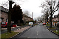
Nelson: Rakes House Road
Looking northwest from its crossroads with Regent Street. At the far end, there is a T-junction with Charles Street.
Image: © Dr Neil Clifton
Taken: 17 Mar 2010
0.04 miles
2

Nelson: Swinden Hall Road
Looking northwest from its junction with Regent Street. Swinden Hall Road is a cul-de-sac, with a turning oval at the far end. The housing seems to be all Local Authority bungalows, probably intended for the elderly.
Image: © Dr Neil Clifton
Taken: 17 Mar 2010
0.07 miles
3
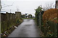
Entrance to the allotments
An entrance off Charles Street. There is another way in off Reedyford Road.
Image: © Bill Boaden
Taken: 27 Dec 2011
0.11 miles
4
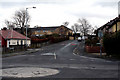
Nelson: Rakes House Road
Looking southeast from the crossroads with Regent Street. In this direction, Rakes House Road goes to Leeds Road.
Image: © Dr Neil Clifton
Taken: 17 Mar 2010
0.12 miles
5
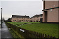
Council housing on Cravendale Avenue
Still run by Pendle Council.
Image: © Bill Boaden
Taken: 27 Dec 2011
0.14 miles
6
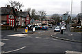
Nelson: Reedyford Road
Looking west from its crossroads with Regent Street. Reedyford Road is part of the A6068, and in this direction gives access to the M65 as well as to Barrowford.
Image: © Dr Neil Clifton
Taken: 17 Mar 2010
0.14 miles
7
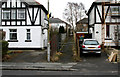
Nelson: Passage between 100 and 102, Regent Street
This passage gives access to Thursby Road.
Image: © Dr Neil Clifton
Taken: 17 Mar 2010
0.14 miles
8
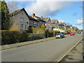
Charles Street, Nelson
Leading off Reedyford Road.
Image: © Chris Heaton
Taken: 18 Jan 2011
0.15 miles
9
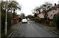
Nelson: Thursby Road
This narrow road runs northeast from a T-junction with Reedyford Road, to meet Rakes House Road in another T-junction.
Image: © Dr Neil Clifton
Taken: 17 Mar 2010
0.16 miles
10
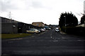
Nelson: Edward Street
Looking southeast from its junction with Regent Street. Graham's Engineering is on the left. Edward Street runs straight through to join Leeds Road (A56) at a T-junction, but rat-running is prevented by bollards half way along.
Image: © Dr Neil Clifton
Taken: 17 Mar 2010
0.19 miles