Nelson: Edward Street
Introduction
The photograph on this page of Nelson: Edward Street by Dr Neil Clifton as part of the Geograph project.
The Geograph project started in 2005 with the aim of publishing, organising and preserving representative images for every square kilometre of Great Britain, Ireland and the Isle of Man.

There are currently over 7.5m images from over 14,400 individuals and you can help contribute to the project by visiting https://www.geograph.org.uk
Nelson: Edward Street
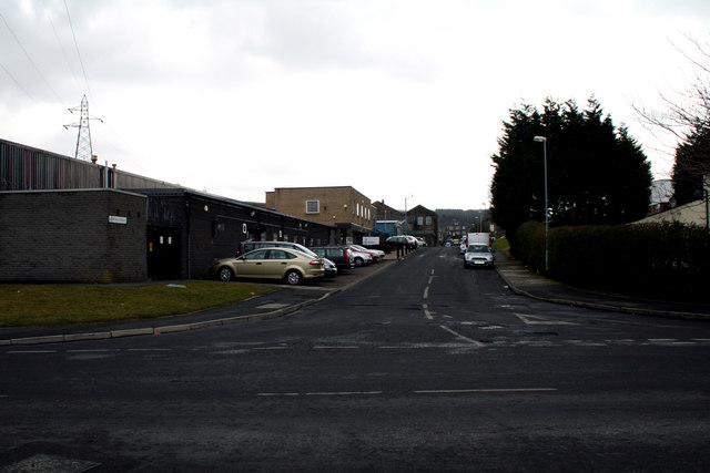
Image: © Dr Neil Clifton Taken: 17 Mar 2010
Looking southeast from its junction with Regent Street. Graham's Engineering is on the left. Edward Street runs straight through to join Leeds Road (A56) at a T-junction, but rat-running is prevented by bollards half way along.
Images are licensed for reuse under creativecommons.org/licenses/by-sa/2.0
Image Location
Latitude
53.847066
Longitude
-2.203637