IMAGES TAKEN NEAR TO
Warminster Road, BATH, BA2 7HY
Introduction
This page details the photographs taken nearby to Warminster Road, BA2 7HY by members of the Geograph project.
The Geograph project started in 2005 with the aim of publishing, organising and preserving representative images for every square kilometre of Great Britain, Ireland and the Isle of Man.

There are currently over 7.5m images from over14,400 individuals and you can help contribute to the project by visiting https://www.geograph.org.uk
Image Map
Images are licensed for reuse under creativecommons.org/licenses/by-sa/2.0
Notes
- Clicking on the map will re-center to the selected point.
- The higher the marker number, the further away the image location is from the centre of the postcode.
Image Listing (163 Images Found)
Images are licensed for reuse under creativecommons.org/licenses/by-sa/2.0
Image
Details
Distance
2
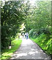
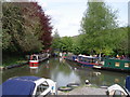
Brassknocker Basin
Heading up the basin
Image: © Pierre Terre
Taken: 19 May 2006
0.02 miles
3
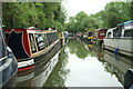
Somerset Coal Canal
Looking south up the Somerset Coal Canal towards Brassknocker Basin.The first quarter mile was restored between 1986 and 1988 and is used for moorings and a boatyard.
Image: © Ian Murfitt
Taken: 11 May 2015
0.03 miles
4
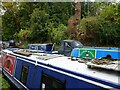
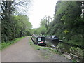
Occams Razor
The view of the boats on the Brassknocker Basin off the Kennet & Avon Canal near Bath.
Image: © Gordon Griffiths
Taken: 14 Oct 2022
0.03 miles
6
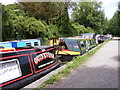
Guinevere Mooring
The view near Brassknocker Basin part of the Somerset Coal Canal.
Image: © Gordon Griffiths
Taken: 7 Jul 2017
0.06 miles
8
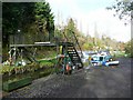
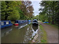
Footbridge over the canal, Monkton Combe
This is the short length of the 'coal canal' that has been restored for use as moorings. The bridge is not for public use, but to give access to moorings on the other side.
Image: © Humphrey Bolton
Taken: 18 Nov 2010
0.06 miles
9
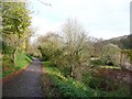
Cycle path, Monkton Combe
This is part of Route 24, but is also a path to Dundas Aqueduct from the Canal Visitor Centre car park.
Image: © Humphrey Bolton
Taken: 18 Nov 2010
0.06 miles