
IMAGES TAKEN NEAR TO
Oldford, FROME, BA11 2NE
Introduction
This page details the photographs taken nearby to BA11 2NE by members of the Geograph project.
The Geograph project started in 2005 with the aim of publishing, organising and preserving representative images for every square kilometre of Great Britain, Ireland and the Isle of Man.

There are currently over 7.5m images from over14,400 individuals and you can help contribute to the project by visiting https://www.geograph.org.uk
Image Map
Images are licensed for reuse under creativecommons.org/licenses/by-sa/2.0
Notes
- Clicking on the map will re-center to the selected point.
- The higher the marker number, the further away the image location is from the centre of the postcode.
Image Listing (20 Images Found)
Images are licensed for reuse under creativecommons.org/licenses/by-sa/2.0
Image
Details
Distance
2
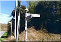
Direction Sign - Signpost on the B3090 at Oldford
Pyramid finial - 4 arms, 2 missing; Somerset SCC pyramid by the B3090, in parish of Berkley (Mendip District), in Oldford on the west side of the crossroads of the B3090, Windsbatch Lane and Lullington Lane.
surveyed
Milestone Society National ID: SO_ST7850
Image: © Milestone Society
Taken: Unknown
0.14 miles
3
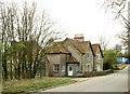
2008 : House on Lullington Lane, Oldford
About 100 yards from the B3090, a lorry is passing in the background.
Image: © Maurice Pullin
Taken: 18 Mar 2008
0.15 miles
4
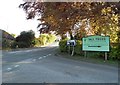
Lullington Lane at the junction of the B3090
Image: © David Howard
Taken: 5 May 2018
0.15 miles
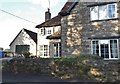
6
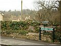
2008 : Iron Mill Lane, Oldford
The name of this lane gives a clue to the former industry of the area. In the 18th century iron mills were thick on the ground along these valleys using water power from streams and rivers of the eastern Mendips to drive their machinery. The iron mill in question was about half a mile to the left along the lane from here.
Image: © Maurice Pullin
Taken: 18 Mar 2008
0.19 miles
8
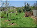
Grounds of Oldford Farm
The footpath takes walkers through the grounds of Oldford Farm.
Image: © Maigheach-gheal
Taken: 19 Apr 2009
0.19 miles
9
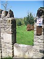
Footpath, Oldford
The footpath goes through the grounds of Oldford Farm.
Image: © Maigheach-gheal
Taken: 19 Apr 2009
0.20 miles
10
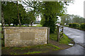
Staplemead Creamery
Creamery entrance off Lullington Lane
Image: © Roger Gittins
Taken: 16 May 2009
0.20 miles