IMAGES TAKEN NEAR TO
Rhynie, HUNTLY, AB54 4JD
Introduction
This page details the photographs taken nearby to AB54 4JD by members of the Geograph project.
The Geograph project started in 2005 with the aim of publishing, organising and preserving representative images for every square kilometre of Great Britain, Ireland and the Isle of Man.

There are currently over 7.5m images from over14,400 individuals and you can help contribute to the project by visiting https://www.geograph.org.uk
Image Map
Images are licensed for reuse under creativecommons.org/licenses/by-sa/2.0
Notes
- Clicking on the map will re-center to the selected point.
- The higher the marker number, the further away the image location is from the centre of the postcode.
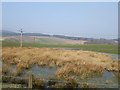
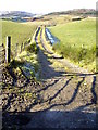
Image Listing (7 Images Found)
Images are licensed for reuse under creativecommons.org/licenses/by-sa/2.0
Image
Details
Distance
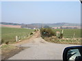
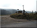
6
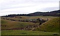
View towards Contlach
From A97 near Stag's Well.
Image: © Stanley Howe
Taken: 10 Nov 2009
0.24 miles
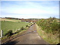
7
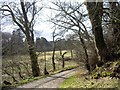
Access to Contlach
From B9002 near Auchindoir Church.
Image: © Stanley Howe
Taken: 10 Mar 2009
0.24 miles