IMAGES TAKEN NEAR TO
Fisherie, TURRIFF, AB53 5QQ
Introduction
This page details the photographs taken nearby to AB53 5QQ by members of the Geograph project.
The Geograph project started in 2005 with the aim of publishing, organising and preserving representative images for every square kilometre of Great Britain, Ireland and the Isle of Man.

There are currently over 7.5m images from over14,400 individuals and you can help contribute to the project by visiting https://www.geograph.org.uk
Image Map
Images are licensed for reuse under creativecommons.org/licenses/by-sa/2.0
Notes
- Clicking on the map will re-center to the selected point.
- The higher the marker number, the further away the image location is from the centre of the postcode.
Image Listing (5 Images Found)
Images are licensed for reuse under creativecommons.org/licenses/by-sa/2.0
Image
Details
Distance
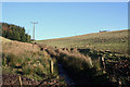
3
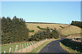
Looking towards the hairpin at Fernie Slack
Image: © Des Colhoun
Taken: 6 Feb 2008
0.17 miles
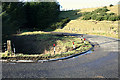
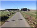
5
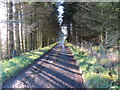
Minor road in woodland beside Fernie Slack
Looking south-westward.
Image: © Peter Wood
Taken: 18 Nov 2019
0.20 miles