
IMAGES TAKEN NEAR TO
TURRIFF, AB53 4NU
Introduction
This page details the photographs taken nearby to AB53 4NU by members of the Geograph project.
The Geograph project started in 2005 with the aim of publishing, organising and preserving representative images for every square kilometre of Great Britain, Ireland and the Isle of Man.

There are currently over 7.5m images from over14,400 individuals and you can help contribute to the project by visiting https://www.geograph.org.uk
Image Map
Images are licensed for reuse under creativecommons.org/licenses/by-sa/2.0
Notes
- Clicking on the map will re-center to the selected point.
- The higher the marker number, the further away the image location is from the centre of the postcode.
Image Listing (9 Images Found)
Images are licensed for reuse under creativecommons.org/licenses/by-sa/2.0
Image
Details
Distance
1
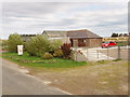
Stop here for free range eggs
This house by the roadside had a sign outside saying it sold eggs - stop and toot horn to buy some. It is on a very small road, there can't be very much passing trade.
Image: © David Hawgood
Taken: 13 Sep 2007
0.00 miles
3
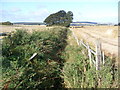
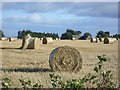
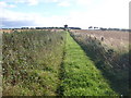
Near Upper Blackburn
New shoots cover the field at the top of the hill near Upper Blackburn.
Image: © Anne Burgess
Taken: 1 May 2013
0.08 miles
7
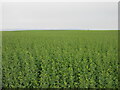
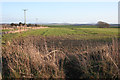
Large field of oil-seed rape
Vast field of oil-seed rape still to turn yellow, to the north of Luncarty.
Image: © Scott Cormie
Taken: 16 Apr 2022
0.14 miles
8
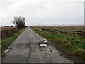
Minor road heading towards Upper Blackburn
Looking south-westward. A large flock of swans were in the process of landing in the field on the right of the picture.
Image: © Peter Wood
Taken: 17 Nov 2019
0.19 miles
9
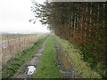
Track to Wood of Luncarty
Track alongside line of woodland, heading east to the Wood of Luncarty.
Image: © Scott Cormie
Taken: 16 Apr 2022
0.21 miles