IMAGES TAKEN NEAR TO
Collieston, ELLON, AB41 8RY
Introduction
This page details the photographs taken nearby to AB41 8RY by members of the Geograph project.
The Geograph project started in 2005 with the aim of publishing, organising and preserving representative images for every square kilometre of Great Britain, Ireland and the Isle of Man.

There are currently over 7.5m images from over14,400 individuals and you can help contribute to the project by visiting https://www.geograph.org.uk
Image Map
Images are licensed for reuse under creativecommons.org/licenses/by-sa/2.0
Notes
- Clicking on the map will re-center to the selected point.
- The higher the marker number, the further away the image location is from the centre of the postcode.
Image Listing (8 Images Found)
Images are licensed for reuse under creativecommons.org/licenses/by-sa/2.0
Image
Details
Distance
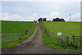
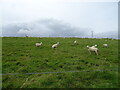
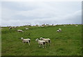
1
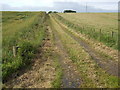
Track to East Brogan
Farm road north of the A975 near Collieston.
Image: © Jonathan Billinger
Taken: 17 Jul 2007
0.03 miles
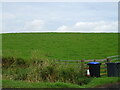
7
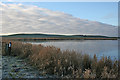
Meikle Loch
Despite its name, the loch is less than a kilometre in length. The name is in contrast to the Little Loch, which adjoins it at the far end. The loch is an RSPB reserve, but there were few birds in evidence today.
Image: © Anne Burgess
Taken: 3 Jan 2019
0.21 miles
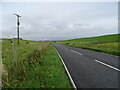
8
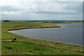
Meikle Loch
Viewed from high ground on Broom Hill.
Image: © Mary and Angus Hogg
Taken: 22 Aug 2019
0.24 miles