IMAGES TAKEN NEAR TO
STONEHAVEN, AB39 2TU
Introduction
This page details the photographs taken nearby to AB39 2TU by members of the Geograph project.
The Geograph project started in 2005 with the aim of publishing, organising and preserving representative images for every square kilometre of Great Britain, Ireland and the Isle of Man.

There are currently over 7.5m images from over14,400 individuals and you can help contribute to the project by visiting https://www.geograph.org.uk
Image Map
Images are licensed for reuse under creativecommons.org/licenses/by-sa/2.0
Notes
- Clicking on the map will re-center to the selected point.
- The higher the marker number, the further away the image location is from the centre of the postcode.
Image Listing (11 Images Found)
Images are licensed for reuse under creativecommons.org/licenses/by-sa/2.0
Image
Details
Distance
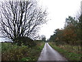
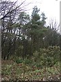
4
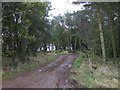
Track into woodland
Off National Cycle Route 1.
Image: © JThomas
Taken: 11 Nov 2013
0.09 miles
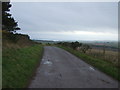
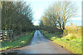
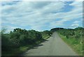
6
National Cycle Route 1
Heading south on a minor road beside Wood of Newton.
Image: © JThomas
Taken: 11 Nov 2013
0.17 miles
10
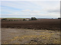
Harvested field
Field near Newton of Barras with the farm buildings beyond.
Image: © Scott Cormie
Taken: 4 Oct 2018
0.22 miles