
IMAGES TAKEN NEAR TO
Craigferrar Way, ABOYNE, AB34 5GZ
Introduction
This page details the photographs taken nearby to Craigferrar Way, AB34 5GZ by members of the Geograph project.
The Geograph project started in 2005 with the aim of publishing, organising and preserving representative images for every square kilometre of Great Britain, Ireland and the Isle of Man.

There are currently over 7.5m images from over14,400 individuals and you can help contribute to the project by visiting https://www.geograph.org.uk
Image Map
Images are licensed for reuse under creativecommons.org/licenses/by-sa/2.0
Notes
- Clicking on the map will re-center to the selected point.
- The higher the marker number, the further away the image location is from the centre of the postcode.
Image Listing (9 Images Found)
Images are licensed for reuse under creativecommons.org/licenses/by-sa/2.0
Image
Details
Distance
2
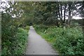
Railway trackbed, Aboyne
Now passing through a residential area after recent house building.
Image: © Richard Webb
Taken: 14 Sep 2019
0.06 miles
4
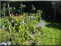
A poppy collection in Barclay Park, Aboyne
Including specimens of the fabled Himalayan Blue Poppy (Mecanopsis grandis).
Image: © Stanley Howe
Taken: 28 May 2011
0.21 miles
5
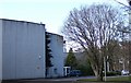
Aboyne Academy
Sports Hall and Theatre.
Image: © Stanley Howe
Taken: 12 Mar 2007
0.22 miles
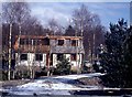
7
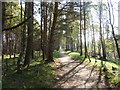
Up-line old Deeside Railway
Through Barclay Park, Aboyne.
Image: © Stanley Howe
Taken: 7 May 2008
0.24 miles
8
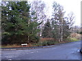
Entrance to Barclay Park
A housing development in Lady Wood, off Rhu-na-haven road
Image: © Stanley Howe
Taken: 12 Mar 2007
0.24 miles
9
Junction of Rhu-na-Haven Road with Barclay Park
Aboyne.
Image: © Stanley Howe
Taken: 13 Aug 2013
0.25 miles