IMAGES TAKEN NEAR TO
Glenkindie, ALFORD, AB33 8SE
Introduction
This page details the photographs taken nearby to AB33 8SE by members of the Geograph project.
The Geograph project started in 2005 with the aim of publishing, organising and preserving representative images for every square kilometre of Great Britain, Ireland and the Isle of Man.

There are currently over 7.5m images from over14,400 individuals and you can help contribute to the project by visiting https://www.geograph.org.uk
Image Map
Images are licensed for reuse under creativecommons.org/licenses/by-sa/2.0
Notes
- Clicking on the map will re-center to the selected point.
- The higher the marker number, the further away the image location is from the centre of the postcode.
Image Listing (9 Images Found)
Images are licensed for reuse under creativecommons.org/licenses/by-sa/2.0
Image
Details
Distance
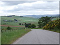
1
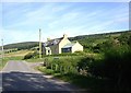
Minmore Cottage
By road from Towie to Loanhead summit.
Image: © Stanley Howe
Taken: 3 Aug 2012
0.00 miles
2
Minmore Cottage
On minor road between Glenkindle and Muir of Fowlis
Image: © Stanley Howe
Taken: 24 Sep 2017
0.00 miles
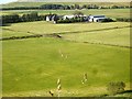
4
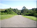
View west from near Loanhead crossroads
Image: © Stanley Howe
Taken: 15 Jun 2007
0.12 miles
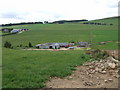
5
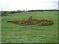
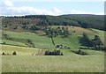
View over Loanhead Burn
Towards Nether Minmore.
Image: © Stanley Howe
Taken: 3 Aug 2012
0.19 miles
7
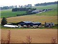
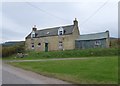
Loanhead Farm
With Nether Minmore beyond; from the minor road from Glenkindie to Muir of Fowlis.
Image: © Stanley Howe
Taken: 24 Sep 2017
0.21 miles
8
View towards Minmore Croft
From near Upper Minmore.
Image: © Stanley Howe
Taken: 14 Jul 2008
0.22 miles