IMAGES TAKEN NEAR TO
Tullynessle, ALFORD, AB33 8QF
Introduction
This page details the photographs taken nearby to AB33 8QF by members of the Geograph project.
The Geograph project started in 2005 with the aim of publishing, organising and preserving representative images for every square kilometre of Great Britain, Ireland and the Isle of Man.

There are currently over 7.5m images from over14,400 individuals and you can help contribute to the project by visiting https://www.geograph.org.uk
Image Map
Images are licensed for reuse under creativecommons.org/licenses/by-sa/2.0
Notes
- Clicking on the map will re-center to the selected point.
- The higher the marker number, the further away the image location is from the centre of the postcode.
Image Listing (15 Images Found)
Images are licensed for reuse under creativecommons.org/licenses/by-sa/2.0
Image
Details
Distance
3
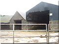
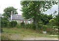
Scotsmill steadings
Any suggestions for the Newsham Team Green 'No Entry' sign - a foot and mouth precaution maybe?
Image: © Stanley Howe
Taken: 17 Jul 2008
0.05 miles
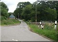
5
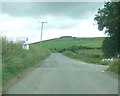
New Mill
By road from Scotsmill to Balquharn.
Image: © Stanley Howe
Taken: 17 Jul 2008
0.12 miles
6
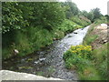
Downstream Esset Burn
From the bridge by Burndale.
Image: © Stanley Howe
Taken: 17 Jul 2008
0.13 miles
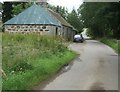
7

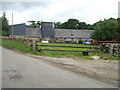
Bridge over the Esset Burn
Near Scotsmill.
Image: © Stanley Howe
Taken: 17 Jul 2008
0.13 miles
8
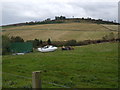
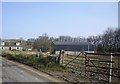
Lochaber by Scotsmill
Plough, boat and tractor lined up in that order.
Image: © Stanley Howe
Taken: 7 Oct 2008
0.13 miles