
IMAGES TAKEN NEAR TO
Torphins, BANCHORY, AB31 4LY
Introduction
This page details the photographs taken nearby to AB31 4LY by members of the Geograph project.
The Geograph project started in 2005 with the aim of publishing, organising and preserving representative images for every square kilometre of Great Britain, Ireland and the Isle of Man.

There are currently over 7.5m images from over14,400 individuals and you can help contribute to the project by visiting https://www.geograph.org.uk
Image Map
Images are licensed for reuse under creativecommons.org/licenses/by-sa/2.0
Notes
- Clicking on the map will re-center to the selected point.
- The higher the marker number, the further away the image location is from the centre of the postcode.
Image Listing (48 Images Found)
Images are licensed for reuse under creativecommons.org/licenses/by-sa/2.0
Image
Details
Distance
1
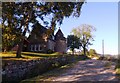
Tower House, Callibrae
Name identified per RCAHMS website map.
Image: © Stanley Howe
Taken: 3 Oct 2015
0.00 miles
2
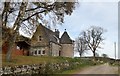
Callibrae Tower House, Learney
Built in Scots Baronial style as a game Lodge on the Learney Estate. https://canmore.org.uk/site/search/result?NUMLINK=184613&view=map
Image: © Stanley Howe
Taken: 27 Oct 2017
0.01 miles
3
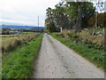
Minor road at Calliebrae
Looking south-westward. Surface is akin to track but mapping suggests metalled road.
Image: © Peter Wood
Taken: 13 Oct 2019
0.01 miles
5
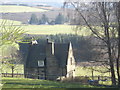
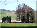
Calliebrae
Seen from Learney House driveway.
Image: © Stanley Howe
Taken: 22 Mar 2012
0.04 miles
6
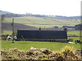
Calliebrae Cottages
East of Learney House drive.
Image: © Stanley Howe
Taken: 22 Mar 2012
0.04 miles
7
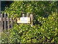
Callibrae Cottage
Cottage name sign on the garden fence.
Image: © Stanley Howe
Taken: 3 Oct 2015
0.04 miles
8
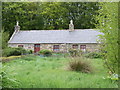
Calliebrae cottages
A pair of semi-detached cottages next to Callibrae Tower House.
Image: © Stanley Howe
Taken: 7 May 2007
0.04 miles
10
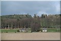
Callibrae
View across the Learney Burn from the B993.
Image: © Richard Webb
Taken: 5 Apr 2017
0.05 miles