IMAGES TAKEN NEAR TO
Fettercairn, LAURENCEKIRK, AB30 1BY
Introduction
This page details the photographs taken nearby to AB30 1BY by members of the Geograph project.
The Geograph project started in 2005 with the aim of publishing, organising and preserving representative images for every square kilometre of Great Britain, Ireland and the Isle of Man.

There are currently over 7.5m images from over14,400 individuals and you can help contribute to the project by visiting https://www.geograph.org.uk
Image Map
Images are licensed for reuse under creativecommons.org/licenses/by-sa/2.0
Notes
- Clicking on the map will re-center to the selected point.
- The higher the marker number, the further away the image location is from the centre of the postcode.
Image Listing (9 Images Found)
Images are licensed for reuse under creativecommons.org/licenses/by-sa/2.0
Image
Details
Distance
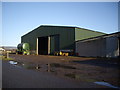
3
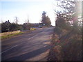
Marykirk, Fettercairn and North Water Bridge Junction
Image: © Dominic Dawn Harry and Jacob Paterson
Taken: 30 Jan 2006
0.14 miles
4
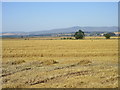
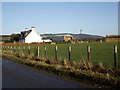
Golden field near Meiklehall
Looking westwards over a recently harvested field near Meiklehall, with the Hill of Wirren in the distance to the right.
Image: © Scott Cormie
Taken: 25 Aug 2019
0.17 miles
5
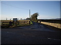
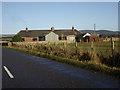
Access road to Balmain Farm
From B974.
Image: © Stanley Howe
Taken: 10 Dec 2009
0.18 miles
6
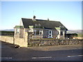
Johnston View
Awaiting Father christmas.
Image: © Stanley Howe
Taken: 10 Dec 2009
0.21 miles
7
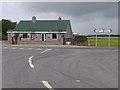
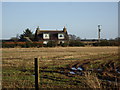
Johnston View
Junction of minor road (a Fettercairn by-pass) with the B974 to Marykirk. The cottage has been tastefully re-roofed since my 2009 shot Image
Image: © Stanley Howe
Taken: 24 Jul 2015
0.21 miles