
IMAGES TAKEN NEAR TO
Doolie Ness, ABERDEEN, AB12 3SQ
Introduction
This page details the photographs taken nearby to Doolie Ness, AB12 3SQ by members of the Geograph project.
The Geograph project started in 2005 with the aim of publishing, organising and preserving representative images for every square kilometre of Great Britain, Ireland and the Isle of Man.

There are currently over 7.5m images from over14,400 individuals and you can help contribute to the project by visiting https://www.geograph.org.uk
Image Map
Images are licensed for reuse under creativecommons.org/licenses/by-sa/2.0
Notes
- Clicking on the map will re-center to the selected point.
- The higher the marker number, the further away the image location is from the centre of the postcode.
Image Listing (8 Images Found)
Images are licensed for reuse under creativecommons.org/licenses/by-sa/2.0
Image
Details
Distance
1
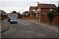
Loirston Court in Cove Bay
Modern housing in Cove Bay on the outskirts of Aberdeen.
Image: © Colin Kinnear
Taken: 19 Jan 2011
0.15 miles
2
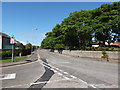
Looking down Loirston Road, Cove
The granite wall once surrounded the grounds of Loirston House, now demolished and replaced by modern high-density housing. At least they didn't cut down the trees...
Image: © Bill Harrison
Taken: 16 Jun 2013
0.18 miles
4
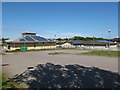
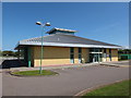
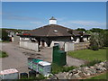
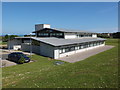
Cove Bay community facilities
The library to the left and Loirston Primary School to the right.
Image: © Bill Harrison
Taken: 16 Jun 2013
0.21 miles
8
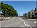
Looking down Loirston Avenue, Cove
The old boundary wall for the grounds of Loirston House to the left and the junction with Catto Crescent to the right.
Image: © Bill Harrison
Taken: 16 Jun 2013
0.25 miles