Looking down Loirston Road, Cove
Introduction
The photograph on this page of Looking down Loirston Road, Cove by Bill Harrison as part of the Geograph project.
The Geograph project started in 2005 with the aim of publishing, organising and preserving representative images for every square kilometre of Great Britain, Ireland and the Isle of Man.

There are currently over 7.5m images from over 14,400 individuals and you can help contribute to the project by visiting https://www.geograph.org.uk
Looking down Loirston Road, Cove
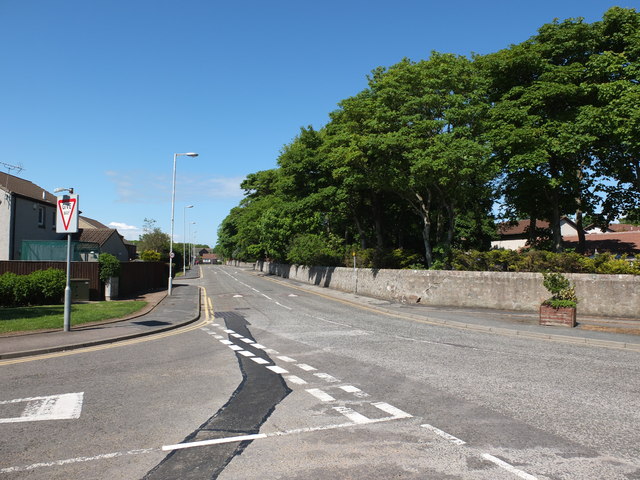
Image: © Bill Harrison Taken: 16 Jun 2013
The granite wall once surrounded the grounds of Loirston House, now demolished and replaced by modern high-density housing. At least they didn't cut down the trees...
Images are licensed for reuse under creativecommons.org/licenses/by-sa/2.0
Image Location
Latitude
57.104171
Longitude
-2.082023