Field near Ty Pella
Introduction
The photograph on this page of Field near Ty Pella by Nigel Brown as part of the Geograph project.
The Geograph project started in 2005 with the aim of publishing, organising and preserving representative images for every square kilometre of Great Britain, Ireland and the Isle of Man.

There are currently over 7.5m images from over 14,400 individuals and you can help contribute to the project by visiting https://www.geograph.org.uk
Field near Ty Pella
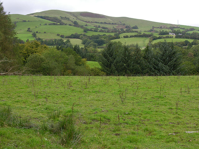
Image: © Nigel Brown Taken: 29 Sep 2008
The building shown on the 1:50000 map to the west of this field does not appear to exist.
Images are licensed for reuse under creativecommons.org/licenses/by-sa/2.0
Image Location
Latitude
52.612693
Longitude
-3.645973