Entrance to Upper Shirley High school
Introduction
The photograph on this page of Entrance to Upper Shirley High school by Jim Champion as part of the Geograph project.
The Geograph project started in 2005 with the aim of publishing, organising and preserving representative images for every square kilometre of Great Britain, Ireland and the Isle of Man.

There are currently over 7.5m images from over 14,400 individuals and you can help contribute to the project by visiting https://www.geograph.org.uk
Entrance to Upper Shirley High school
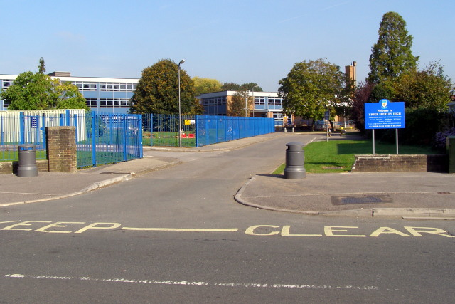
Image: © Jim Champion Taken: 27 Sep 2008
Looking across Bellemoor Road to the entrance to Upper Shirley High. Following a review by the Southampton LEA various changes have been made to secondary schools in the city. This school was Bellemoor School (for boys) until July 2008, and over the summer became the co-educational Upper Shirley High (a specialist maths and computing college).
Images are licensed for reuse under creativecommons.org/licenses/by-sa/2.0
Image Location


Leaflet Map data © OpenStreetMap
Latitude
50.928711
Longitude
-1.423816