The Broadbelt Hall, Glasshouses
Introduction
The photograph on this page of The Broadbelt Hall, Glasshouses by Gordon Hatton as part of the Geograph project.
The Geograph project started in 2005 with the aim of publishing, organising and preserving representative images for every square kilometre of Great Britain, Ireland and the Isle of Man.

There are currently over 7.5m images from over 14,400 individuals and you can help contribute to the project by visiting https://www.geograph.org.uk
The Broadbelt Hall, Glasshouses
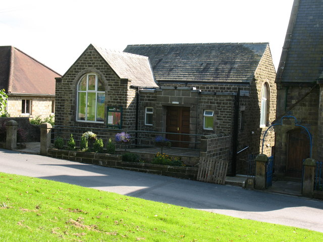
Image: © Gordon Hatton Taken: 23 Sep 2008
Community hall for social events and also for Methodist church services, the next door chapel having been closed.
Images are licensed for reuse under creativecommons.org/licenses/by-sa/2.0
Image Location
Latitude
54.076496
Longitude
-1.736023