The Killowen Road near Rostrevor
Introduction
The photograph on this page of The Killowen Road near Rostrevor by Albert Bridge as part of the Geograph project.
The Geograph project started in 2005 with the aim of publishing, organising and preserving representative images for every square kilometre of Great Britain, Ireland and the Isle of Man.

There are currently over 7.5m images from over 14,400 individuals and you can help contribute to the project by visiting https://www.geograph.org.uk
The Killowen Road near Rostrevor
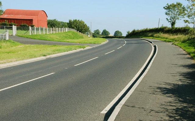
Image: © Albert Bridge Taken: 20 Sep 2008
The Killowen Road is part of a fairly twisty and narrow main road from Kilkeel to Warrenpoint. The view is towards Kilkeel to the east of Killowen and Ballyedmond.
Images are licensed for reuse under creativecommons.org/licenses/by-sa/2.0
Image Location
Latitude
54.068576
Longitude
-6.135978