Forfar / Montrose Road at its junction with the road leading to Tailors Wynd
Introduction
The photograph on this page of Forfar / Montrose Road at its junction with the road leading to Tailors Wynd by Alan Morrison as part of the Geograph project.
The Geograph project started in 2005 with the aim of publishing, organising and preserving representative images for every square kilometre of Great Britain, Ireland and the Isle of Man.

There are currently over 7.5m images from over 14,400 individuals and you can help contribute to the project by visiting https://www.geograph.org.uk
Forfar / Montrose Road at its junction with the road leading to Tailors Wynd
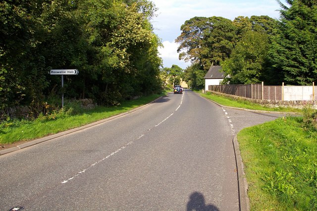
Image: © Alan Morrison Taken: 12 Sep 2007
The picture also depicts the way to Reswallie Hall
Images are licensed for reuse under creativecommons.org/licenses/by-sa/2.0
Image Location
Latitude
56.656159
Longitude
-2.824668