Derelict Oatlands
Introduction
The photograph on this page of Derelict Oatlands by Alan Murray Walsh as part of the Geograph project.
The Geograph project started in 2005 with the aim of publishing, organising and preserving representative images for every square kilometre of Great Britain, Ireland and the Isle of Man.

There are currently over 7.5m images from over 14,400 individuals and you can help contribute to the project by visiting https://www.geograph.org.uk
Derelict Oatlands
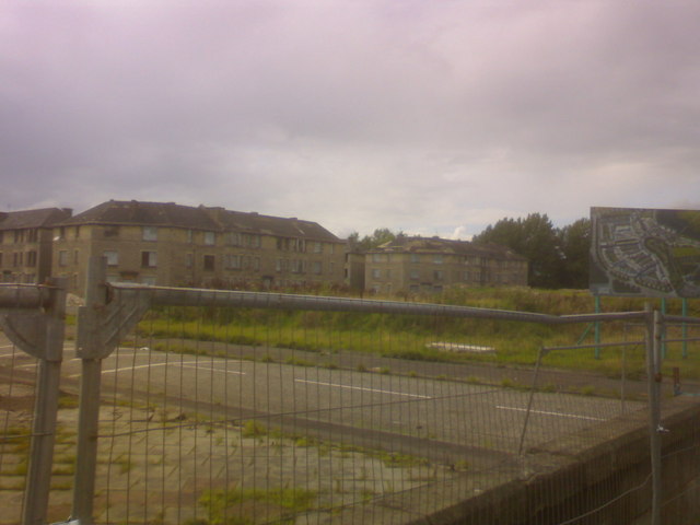
Image: © Alan Murray Walsh Taken: 2 Sep 2008
A billboard shows the new planned development. Will post a pic from the same spot when it is finished.
Images are licensed for reuse under creativecommons.org/licenses/by-sa/2.0
Image Location
Latitude
55.837665
Longitude
-4.233428