Former viaduct at Warren Dale
Introduction
The photograph on this page of Former viaduct at Warren Dale by Ian Lavender as part of the Geograph project.
The Geograph project started in 2005 with the aim of publishing, organising and preserving representative images for every square kilometre of Great Britain, Ireland and the Isle of Man.

There are currently over 7.5m images from over 14,400 individuals and you can help contribute to the project by visiting https://www.geograph.org.uk
Former viaduct at Warren Dale
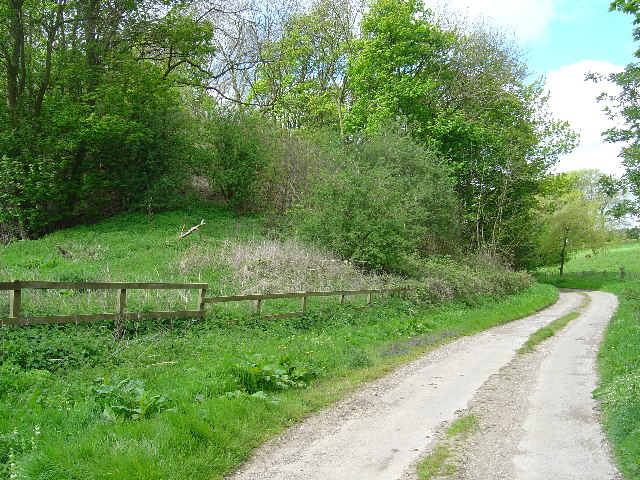
Image: © Ian Lavender Taken: 10 May 2005
Shown on the map as a viaduct I can remember the local scouts abseiling down this about 15 years ago. Deemed unsafe, it was demolished some years ago
Images are licensed for reuse under creativecommons.org/licenses/by-sa/2.0
Image Location
Latitude
53.912703
Longitude
-0.593283