Diamond Avenue, Kirkby in Ashfield
Introduction
The photograph on this page of Diamond Avenue, Kirkby in Ashfield by Katy Walters as part of the Geograph project.
The Geograph project started in 2005 with the aim of publishing, organising and preserving representative images for every square kilometre of Great Britain, Ireland and the Isle of Man.

There are currently over 7.5m images from over 14,400 individuals and you can help contribute to the project by visiting https://www.geograph.org.uk
Diamond Avenue, Kirkby in Ashfield
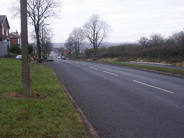
Image: © Katy Walters Taken: 25 Dec 2005
The photograph doesn't really capture what is usually a sweeping view taking in the eastern edge of the Peak District, and Strawberry Bank, which is a previous claimant to the highest point in Notts (before exact measurements and mining spoil-heaps got in the way). At the foot of the hill is the crossroads with Kingsway, Station Street and the now-pedestrianised Lowmoor Road (Image) which forms the current centre of Kirkby.
Images are licensed for reuse under creativecommons.org/licenses/by-sa/2.0
Image Location
Latitude
53.09722
Longitude
-1.235932