Dundonald Drive, Leigh-on-Sea
Introduction
The photograph on this page of Dundonald Drive, Leigh-on-Sea by David Kemp as part of the Geograph project.
The Geograph project started in 2005 with the aim of publishing, organising and preserving representative images for every square kilometre of Great Britain, Ireland and the Isle of Man.

There are currently over 7.5m images from over 14,400 individuals and you can help contribute to the project by visiting https://www.geograph.org.uk
Dundonald Drive, Leigh-on-Sea
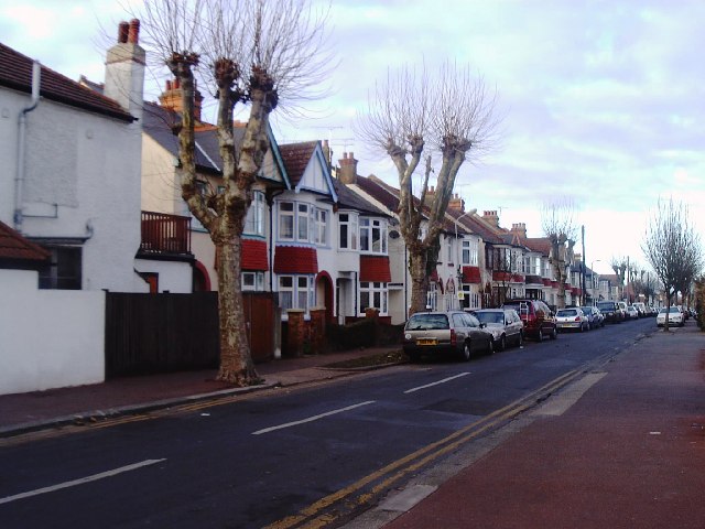
Image: © David Kemp Taken: 25 Dec 2005
Taken just north of the junction with Leigh Road looking north-west. Dundonald Drive is typical of the dense infill of small houses that were built in the decades before and after the First World War in this part of Leigh-on-Sea.
Images are licensed for reuse under creativecommons.org/licenses/by-sa/2.0
Image Location


Leaflet Map data © OpenStreetMap
Latitude
51.547225
Longitude
0.659508