Suburban Housing at the Bridge of Don
Introduction
The photograph on this page of Suburban Housing at the Bridge of Don by Richard Slessor as part of the Geograph project.
The Geograph project started in 2005 with the aim of publishing, organising and preserving representative images for every square kilometre of Great Britain, Ireland and the Isle of Man.

There are currently over 7.5m images from over 14,400 individuals and you can help contribute to the project by visiting https://www.geograph.org.uk
Suburban Housing at the Bridge of Don
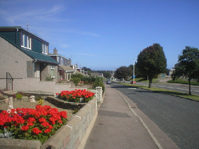
Image: © Richard Slessor Taken: 6 Sep 2004
These 1950s houses on North Donside Road are some the earliest houses in the Bridge of Don suburb which ballooned in size from the mid-1970s onwards.
Images are licensed for reuse under creativecommons.org/licenses/by-sa/2.0
Image Location


Leaflet Map data © OpenStreetMap
Latitude
57.187259
Longitude
-2.089156