2008 : High Street, Maiden Bradley
Introduction
The photograph on this page of 2008 : High Street, Maiden Bradley by Maurice Pullin as part of the Geograph project.
The Geograph project started in 2005 with the aim of publishing, organising and preserving representative images for every square kilometre of Great Britain, Ireland and the Isle of Man.

There are currently over 7.5m images from over 14,400 individuals and you can help contribute to the project by visiting https://www.geograph.org.uk
2008 : High Street, Maiden Bradley
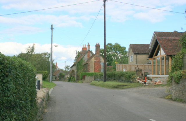
Image: © Maurice Pullin Taken: 22 Aug 2008
The earliest known reference to the village occurs in a Saxon land charter of King Cyncwulf of Wessex, 878AD, but it was in existence centuries before as not only is it situated on the ancient track way between Exeter and Dover but the Roman road from Old Sarum to Uphill in the Mendips (where lead was mined) also passed through the village, while the existence of Iron age fortifications on the Little Knoll, and between it and the Long Knoll, indicates that there were people here two thousand or more years ago The above text was copied from: http://www.btinternet.com/~JIM.DOWNES1/history.htm
Images are licensed for reuse under creativecommons.org/licenses/by-sa/2.0
Image Location


Leaflet Map data © OpenStreetMap
Latitude
51.150093
Longitude
-2.284316