Beaminster: footbridge over the Brit
Introduction
The photograph on this page of Beaminster: footbridge over the Brit by Martin Bodman as part of the Geograph project.
The Geograph project started in 2005 with the aim of publishing, organising and preserving representative images for every square kilometre of Great Britain, Ireland and the Isle of Man.

There are currently over 7.5m images from over 14,400 individuals and you can help contribute to the project by visiting https://www.geograph.org.uk
Beaminster: footbridge over the Brit
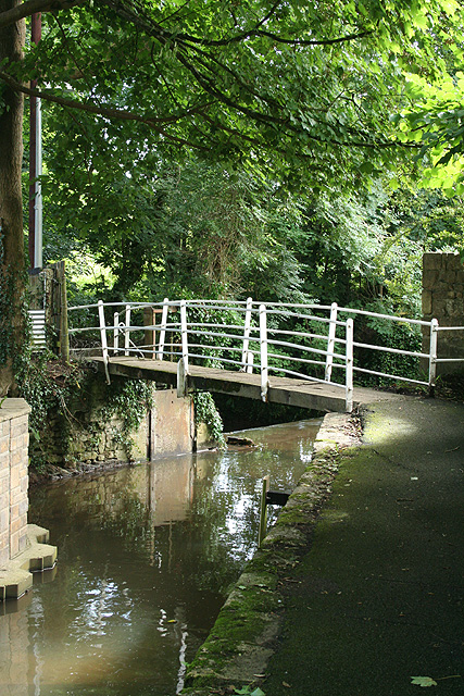
Image: © Martin Bodman Taken: 14 Aug 2008
Immediately beyond the bridge is a weir and a leat runs off right in culvert where it once powered the waterwheel at Southgate Mill, which stands near the Bridport road
Images are licensed for reuse under creativecommons.org/licenses/by-sa/2.0
Image Location
Latitude
50.807107
Longitude
-2.739498