The Friends' Meeting House
Introduction
The photograph on this page of The Friends' Meeting House by Pauline E as part of the Geograph project.
The Geograph project started in 2005 with the aim of publishing, organising and preserving representative images for every square kilometre of Great Britain, Ireland and the Isle of Man.

There are currently over 7.5m images from over 14,400 individuals and you can help contribute to the project by visiting https://www.geograph.org.uk
The Friends' Meeting House
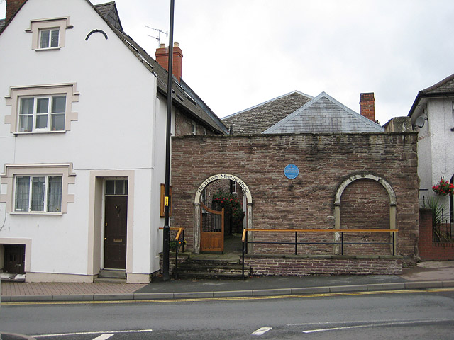
Image: © Pauline E Taken: 5 Aug 2008
The meeting house was built by James Merrick in 1675 and was enlarged and altered in 1803. A Quaker burial ground is attached to the site.
Images are licensed for reuse under creativecommons.org/licenses/by-sa/2.0
Image Location


Leaflet Map data © OpenStreetMap
Latitude
51.917676
Longitude
-2.581824