Parkland Beside Mutton Brook
Introduction
The photograph on this page of Parkland Beside Mutton Brook by Martin Addison as part of the Geograph project.
The Geograph project started in 2005 with the aim of publishing, organising and preserving representative images for every square kilometre of Great Britain, Ireland and the Isle of Man.

There are currently over 7.5m images from over 14,400 individuals and you can help contribute to the project by visiting https://www.geograph.org.uk
Parkland Beside Mutton Brook
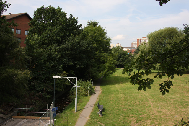
Image: © Martin Addison Taken: 26 Jul 2008
Looking from the North Circular Road. Mutton Brook is on the left. Behind the trees in the distance is Dollis Brook. The two meet behind the tree in the centre at Image and form the River Brent. The decking over Mutton Brook in the foreground is provided for workmen currently working on the tunnel under the North Circular - see Image
Images are licensed for reuse under creativecommons.org/licenses/by-sa/2.0
Image Location


Leaflet Map data © OpenStreetMap
Latitude
51.587626
Longitude
-0.209367