Public lane to Ballynoe Stone Circle
Introduction
The photograph on this page of Public lane to Ballynoe Stone Circle by Albert Bridge as part of the Geograph project.
The Geograph project started in 2005 with the aim of publishing, organising and preserving representative images for every square kilometre of Great Britain, Ireland and the Isle of Man.

There are currently over 7.5m images from over 14,400 individuals and you can help contribute to the project by visiting https://www.geograph.org.uk
Public lane to Ballynoe Stone Circle
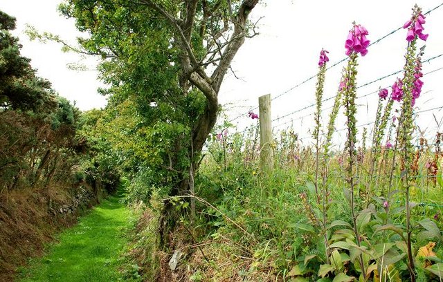
Image: © Albert Bridge Taken: 7 Jul 2008
This lane is the public access to Ballynoe Stone Circle Image There is a private lane Image behind the fence on the right.
Images are licensed for reuse under creativecommons.org/licenses/by-sa/2.0
Image Location
Latitude
54.289339
Longitude
-5.72254