Northbourne: postbox № BH10 340, Palfrey Road
Introduction
The photograph on this page of Northbourne: postbox № BH10 340, Palfrey Road by Chris Downer as part of the Geograph project.
The Geograph project started in 2005 with the aim of publishing, organising and preserving representative images for every square kilometre of Great Britain, Ireland and the Isle of Man.

There are currently over 7.5m images from over 14,400 individuals and you can help contribute to the project by visiting https://www.geograph.org.uk
Northbourne: postbox № BH10 340, Palfrey Road
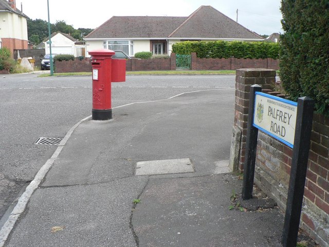
Image: © Chris Downer Taken: 6 Jul 2008
A George VI-reign box – fairly rarely for Bournemouth at least – in Palfrey Road, right by its junction with Leybourne Avenue.
Images are licensed for reuse under creativecommons.org/licenses/by-sa/2.0
Image Location
Latitude
50.76246
Longitude
-1.889923