Church of St Augustine of Canterbury, Upton Lovell
Introduction
The photograph on this page of Church of St Augustine of Canterbury, Upton Lovell by Maigheach-gheal as part of the Geograph project.
The Geograph project started in 2005 with the aim of publishing, organising and preserving representative images for every square kilometre of Great Britain, Ireland and the Isle of Man.

There are currently over 7.5m images from over 14,400 individuals and you can help contribute to the project by visiting https://www.geograph.org.uk
Church of St Augustine of Canterbury, Upton Lovell
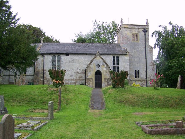
Image: © Maigheach-gheal Taken: 29 Jun 2008
It was not until the fourteenth century that the suffix "Lovell" was added when John, 5th Lord Lovell of Titchmarsh became Lord of the Manor, the settlement then became Upton Lovell.
Images are licensed for reuse under creativecommons.org/licenses/by-sa/2.0
Image Location
Latitude
51.166418
Longitude
-2.079898