Warkidons Way/Dog Lane, Woodbury Salterton
Introduction
The photograph on this page of Warkidons Way/Dog Lane, Woodbury Salterton by Kevin Hale as part of the Geograph project.
The Geograph project started in 2005 with the aim of publishing, organising and preserving representative images for every square kilometre of Great Britain, Ireland and the Isle of Man.

There are currently over 7.5m images from over 14,400 individuals and you can help contribute to the project by visiting https://www.geograph.org.uk
Warkidons Way/Dog Lane, Woodbury Salterton
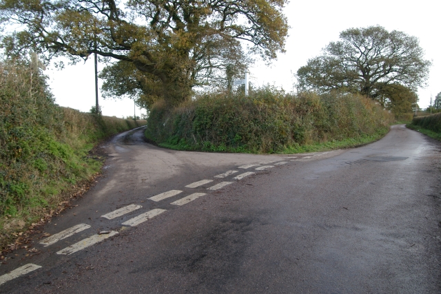
Image: © Kevin Hale Taken: 27 Nov 2005
Warkidons Way/Dog Lane junction, Woodbury Salterton, Devon. The left fork is Warkidons Way, and the 'main' road is Dog Lane.
Images are licensed for reuse under creativecommons.org/licenses/by-sa/2.0
Image Location


Leaflet Map data © OpenStreetMap
Latitude
50.689239
Longitude
-3.388535