New road lay out on the old A260
Introduction
The photograph on this page of New road lay out on the old A260 by Nick Smith as part of the Geograph project.
The Geograph project started in 2005 with the aim of publishing, organising and preserving representative images for every square kilometre of Great Britain, Ireland and the Isle of Man.

There are currently over 7.5m images from over 14,400 individuals and you can help contribute to the project by visiting https://www.geograph.org.uk
New road lay out on the old A260
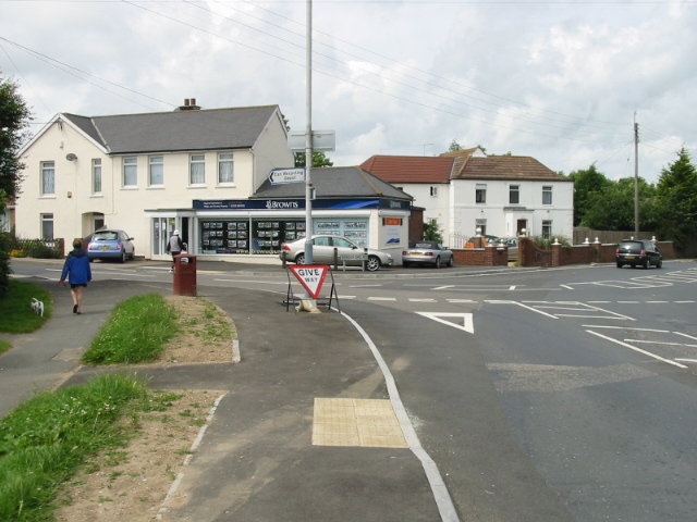
Image: © Nick Smith Taken: 20 Jun 2008
The A260 Canterbury Road went straight through the middle of Hawkinge but a new road bypasses much of the old part of the village, this junction layout has changed as a consequence.
Images are licensed for reuse under creativecommons.org/licenses/by-sa/2.0
Image Location
Latitude
51.116352
Longitude
1.163999