Drighlington Bypass, East of the A58
Introduction
The photograph on this page of Drighlington Bypass, East of the A58 by Humphrey Bolton as part of the Geograph project.
The Geograph project started in 2005 with the aim of publishing, organising and preserving representative images for every square kilometre of Great Britain, Ireland and the Isle of Man.

There are currently over 7.5m images from over 14,400 individuals and you can help contribute to the project by visiting https://www.geograph.org.uk
Drighlington Bypass, East of the A58
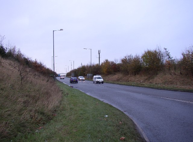
Image: © Humphrey Bolton Taken: 28 Nov 2005
Whether a town has a bypass sometimes depends on whether an easy route is available. In this case a disused railway helped. A single carriageway has proved to be quite adequate, the queues being at the eastern end where it joins the A62 roundabout immediately after the sliproad from the M62.
Images are licensed for reuse under creativecommons.org/licenses/by-sa/2.0
Image Location


Leaflet Map data © OpenStreetMap
Latitude
53.75152
Longitude
-1.672398